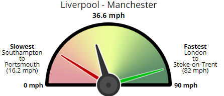
Earlier this month Marie Segger, Carlos Novoa and I had a major new project published about different rail speeds between cities around Britain. We compared the distances between train stations in Britain’s largest cities and found which areas were poorly-served by slow trains. Our project was picked up by a MP for Plymouth, a city … Read More “Calculating Distances in R: How Fast is Your Train?” »
Month: August 2017
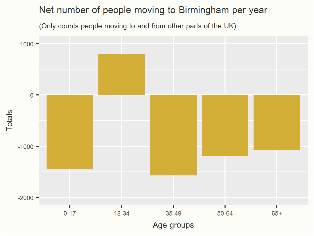
Introduction In Part I we looked at overall internal migration local authority by local authority – are more people coming than going? In Part II we looked at where people are moving from and to around the country. Here in the final Part III we will look at the ages of people moving in and out. … Read More “Internal Migration Part III: Plotting Age Groups” »
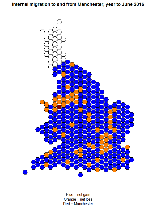
In the first post we completed a hexagonal map showing internal migration at a glance around England and Wales in 2015/16. This map is very good for an overview of what’s going on around the country – is your area getting more people from or losing people to other parts of Britain? But it doesn’t … Read More “Internal Migration, Part II: Homing in on individual authorities” »


